
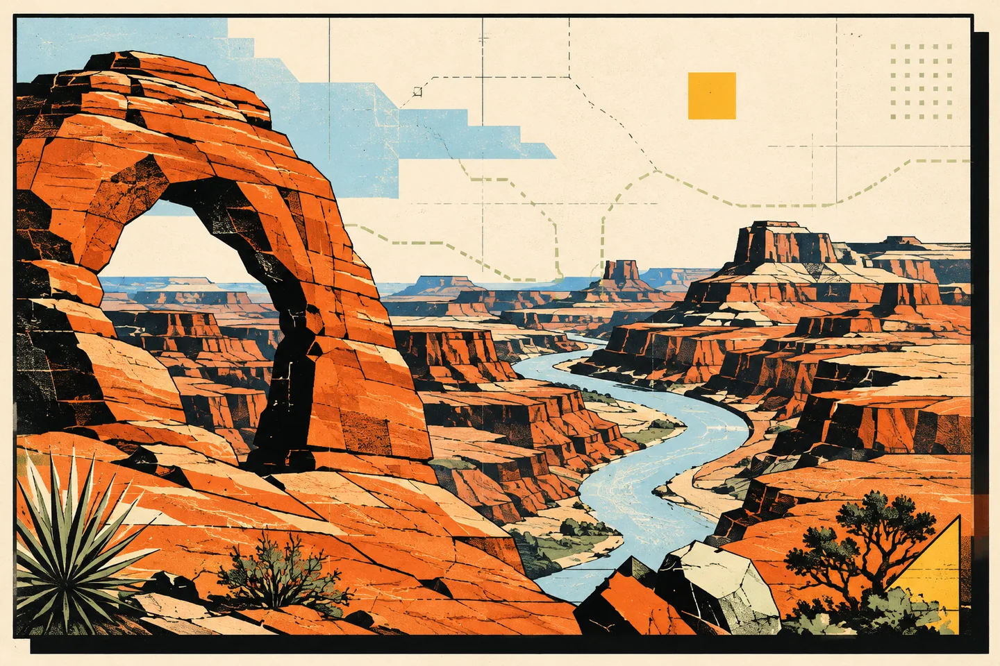
Moab is a base for exploring sandstone arches, canyon overlooks and the Colorado River corridor. Choose one main area each day, then select walks and stops that fit your group’s energy, the weather and the available daylight.
Begin with the arches
Arches National Park combines sandstone fins, balanced rocks, pinnacles and natural arches. Its scenic roads, overlooks and trails offer options for both short visits and longer walks.
A first visit does not need to be built around the longest hike. The scenic drive gives you access to major formations and viewpoints, while short trails can introduce the geology without turning the day into an endurance test. Balanced Rock, the Windows area, and the Delicate Arch viewpoints each offer a different way to experience the park. If you have more time and suitable conditions, longer routes around Devils Garden or the Delicate Arch trail can become the central event of the day.
The park’s official planning guide is the place to check maps, alerts, activity information and safety guidance before setting out.
Look across Canyonlands from Island in the Sky
Canyonlands National Park is not one single viewpoint or one compact park experience. It is divided into districts, and the most practical choice for a shorter Moab visit is usually Island in the Sky. This high mesa offers a sequence of overlooks above a deeply carved landscape of canyons, rivers, and distant cliffs.
The paved scenic drive makes Island in the Sky accessible for a range of visitors. Grand View Point and Green River Overlook provide broad perspectives, while Mesa Arch offers a closer encounter with the park’s layered geology. Short walks can be combined with longer hikes if your group wants more time on the trail. The National Park Service notes that Island in the Sky is the easiest district to visit in a limited period, with many pullouts along the paved road.
Use a map to distinguish the mesa-top roads from routes into the canyons. The Island in the Sky visitor information explains access, visitor services, trails and the relationship between the scenic drive and the backcountry.
Make time for Dead Horse Point
Dead Horse Point State Park overlooks a broad bend of the Colorado River, with layered canyon country beyond. Choose it for a focused rim walk rather than a descent into the canyon.
The park’s rim trails connect viewpoints across the desert plateau. According to Utah State Parks, the trail network is generally easy in terms of elevation, although uneven slick rock makes sturdy footwear a sensible choice. That combination makes Dead Horse Point a good option for visitors who want a scenic walk without committing to a strenuous descent into a canyon.
Sunrise and sunset bring out the folds in the canyon walls. Allow time for a rim walk as well as the main overlook, and plan your return before darkness makes the uneven ground harder to see.
Explore the Colorado River corridor
The Colorado River gives the Moab area another perspective. From the road, the river corridor reveals a softer contrast to the high desert: water, cottonwoods, cliffs, and long views through the canyon. Depending on conditions and experience, visitors may explore the area by foot, bicycle, vehicle, or a properly planned river outing.
River activities require more preparation than a viewpoint or short trail. Water levels, weather, equipment, permits, and route difficulty all matter. If you are considering boating, rafting, or paddling, use an established outfitter or the relevant land-management authority for current requirements rather than relying on a generic itinerary.
For a simpler experience, take a scenic drive along the river corridor and stop only where parking and access are permitted. Choose a few stops before leaving, so the driver can concentrate on the road.
Choose a trail that matches the day
Moab hiking ranges from brief walks on relatively level ground to demanding routes over exposed terrain. The right trail is the one that fits your group, the weather, the season, and the water you can carry. A short trail enjoyed attentively is a better choice than a difficult route attempted because it appeared on a popular list.
Island in the Sky includes short mesa-top trails as well as routes that descend towards the White Rim and the rivers. Canyonlands’ official hiking guidance emphasises that remote trails may not receive regular maintenance and may not always be clearly marked. Carry a detailed map for backcountry outings, stay aware of your position, and do not assume that a nearby-looking destination will be a quick walk.
In Arches, stay on designated trails and respect the small patches of biological soil crust that help hold the desert surface together. Do not build or rearrange cairns, and keep off arches and other prominent formations. These choices protect the landscape and make navigation safer for the people who follow you.
Try a scenic drive or four-wheel-drive route carefully
Some of the area’s most expansive views are reached by road rather than trail. Canyonlands offers paved scenic routes as well as unpaved roads that enter more remote country. The National Park Service explains that many backcountry roads require high-clearance, four-wheel-drive vehicles, and some require permits.
That distinction matters. A route shown on a map is not automatically suitable for a rental car, a first-time off-road driver, or a vehicle without recovery equipment. Before leaving pavement, research the road surface, weather sensitivity, fuel and water needs, communication limits, and permit requirements. Tell someone where you are going, and turn around early if conditions exceed your experience.
A guided excursion is another option for exploring unfamiliar terrain. Before choosing one, confirm the route, physical demands, equipment and participation requirements directly with the operator. A guided outing still needs to match your group’s abilities.
Leave room for dark skies and quiet hours
Moab’s desert landscapes change character after sunset. Away from bright urban lighting, the sky becomes part of the destination. A clear evening can be as satisfying as another daytime stop, whether you attend a ranger programme, sit quietly near your lodging, or find an appropriate public location with safe access.
Dark-sky viewing works best when treated gently. Use a low, warm light, keep voices down, and avoid shining lights towards other visitors. Check access rules before driving out at night, and do not cross closed areas or wander near cliff edges in the dark.
Plan around the desert, not against it
Heat, sun, wind, cold, and sudden weather changes can shape a Moab day more than the distance between attractions. Carry enough water for the outing, protect yourself from sun, and bring layers even when the afternoon feels warm. Shade may be limited, and mobile service should not be treated as a dependable safety plan.
The National Park Service advises visitors to drink generously, remain on trails, and avoid strenuous exertion during the hottest part of the day. Start demanding activities early when practical, reserve the middle of the day for scenic drives or rest, and keep a flexible alternative in mind. The Park Ranger planning tips for Arches are a useful reminder to check conditions, expect congestion, and prepare for a backup plan.
Pets also need careful consideration. Rules differ by land unit, and a dog-friendly town does not mean every trail is dog-friendly. Read the park’s pet guidance before bringing an animal, and never leave a pet in a parked vehicle.
A simple way to shape your Moab itinerary
For one day, choose one major landscape and do it well: Arches for formations and trail variety, Island in the Sky for canyon views, or Dead Horse Point for a focused rim experience. Add a short scenic stop only if it fits naturally.
For two or three days, give each major area its own time. Pair a national-park day with a quieter river-corridor drive or a sunset at Dead Horse Point. Add a guided adventure only after confirming that its physical demands and equipment requirements suit your group.
Before each outing, check the land manager’s alerts, access information, maps and regulations. Pack water, food, sun protection, layers and navigation support. Keep a shorter alternative available if weather or fatigue changes the day.